Relativity in your pocket
Satellite clocks must be adjusted for relativity, or errors of several kilometres would build up daily.
MHI 092 · Exhibition
1973–1995
Documented dateUnited States
Plate 092
1973–1995
United States
The US Department of Defense approved the programme in 1973. The first Navstar satellite launched in 1978, and the system was declared fully operational in 1995.
GPS was developed by many people. Gladys West’s contribution to the geodesy models was recognised only decades later.
The world before
Navigation used maps, compasses, sextants and landmarks, or ground-based radio systems with limited reach.
The human achievement
A constellation of about 30 satellites carries atomic clocks. The US opened GPS to civilian use, with improvements in accuracy after 2000. Other systems include GLONASS, Galileo and BeiDou.
Understanding the invention
GPS and Satellite Navigation, explained in two steps.
Step 01 of 02
Each satellite sends its position and the time; the receiver measures how long signals took to arrive.
IV
The transformation
Maps in phones, delivery, ride-hailing.
Timing for financial markets and networks.
GPS gave everyone a position anywhere on Earth, and its timing is used in banking, power grids and telecoms.
Before and after
Before
Paper maps and asking directions.
After
Turn-by-turn instructions.
On larger screens, drag the divider (or use the arrow keys) to give more room to the world before or after.
VI
Its legacy
MHI 092
GPS and Satellite Navigation
Beyond the collection
Smartphone apps
Location-based services.
Beyond the collection
Precision agriculture
Tractors steered by satellite.
Human stories
Satellite clocks must be adjusted for relativity, or errors of several kilometres would build up daily.
Where accounts differ, this museum follows the documented record and says so.
Next in the museum
Related exhibitions
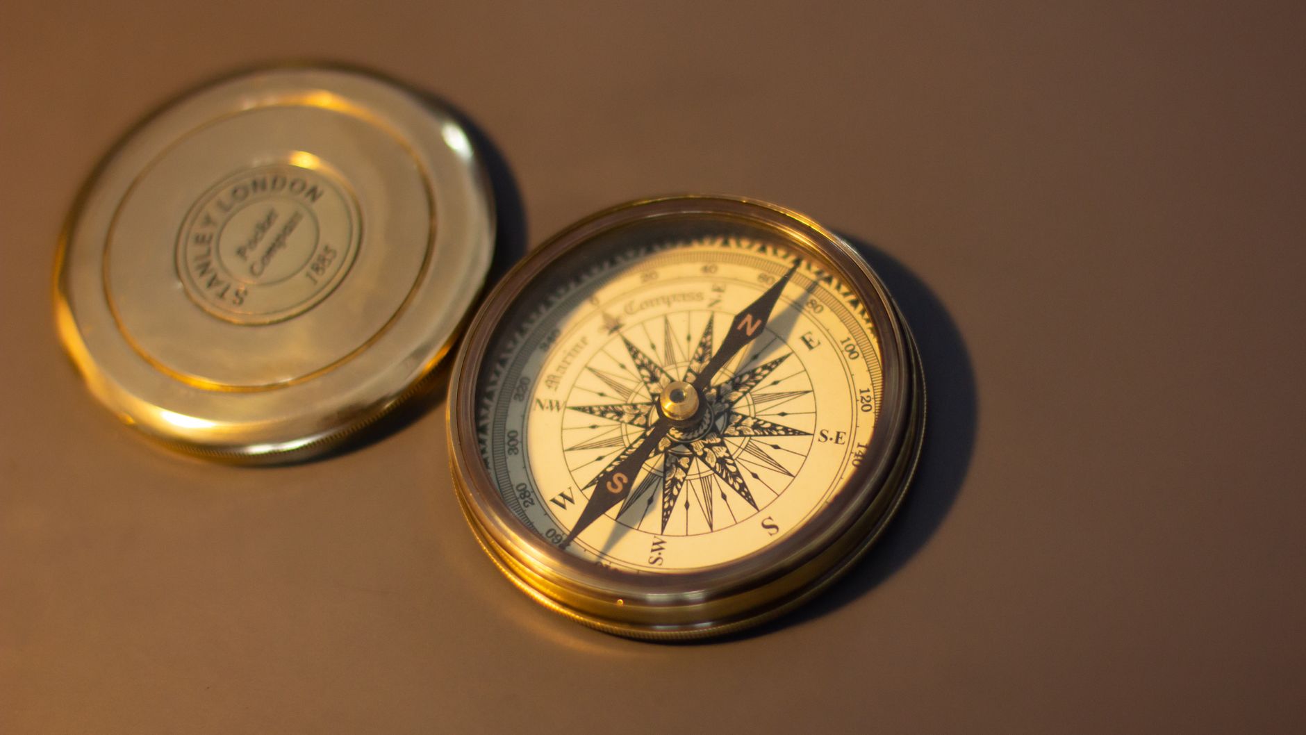 MHI 003The Compass11th–12th century (as a navigation tool)A magnetised needle free to turn aligns itself with Earth’s magnetic field, giving a fixed reference direction in any weather and any place.